List of Illustrations
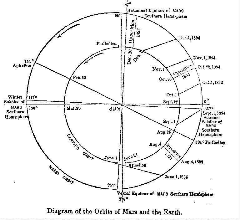
Diagram I Diagram of the Orbits of Mars and the Earth
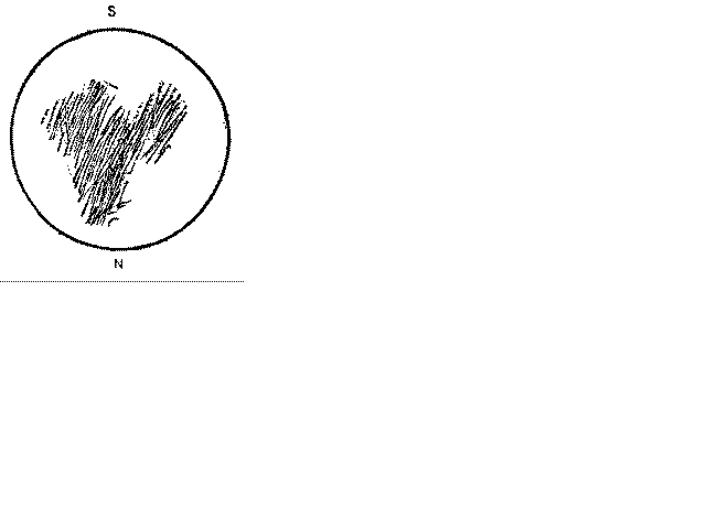
Diagram II Huyghens' drawing of the Syrtis Major, November 28, 1659
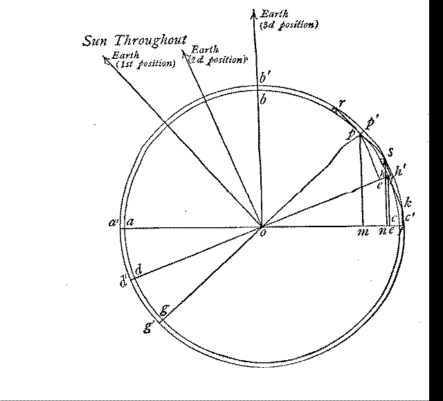
Diagram III Mars
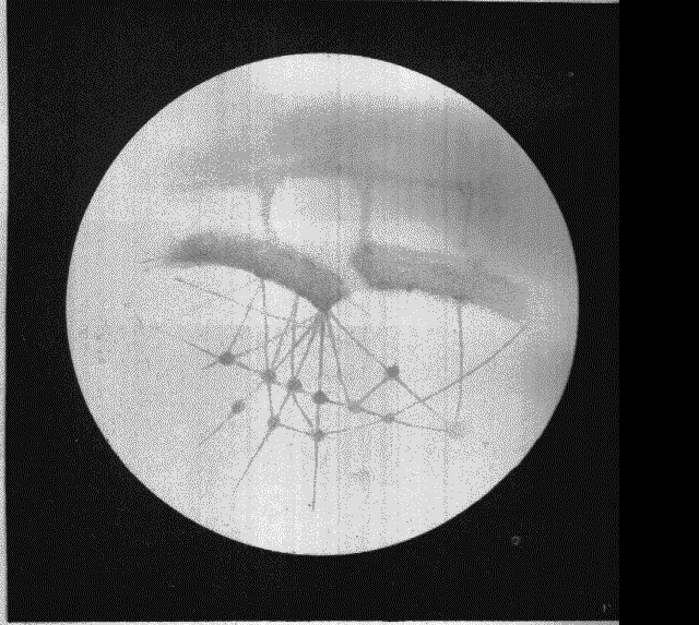
Plate I Mars, Sinus Titanum, frontispiece, (originally a colour plate, black and white here)
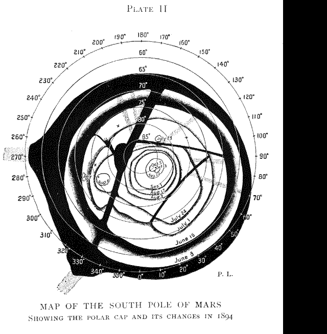
Plate II Map of the South Pole of Mars, Showing the Polar Cap and its Changes, 1894.
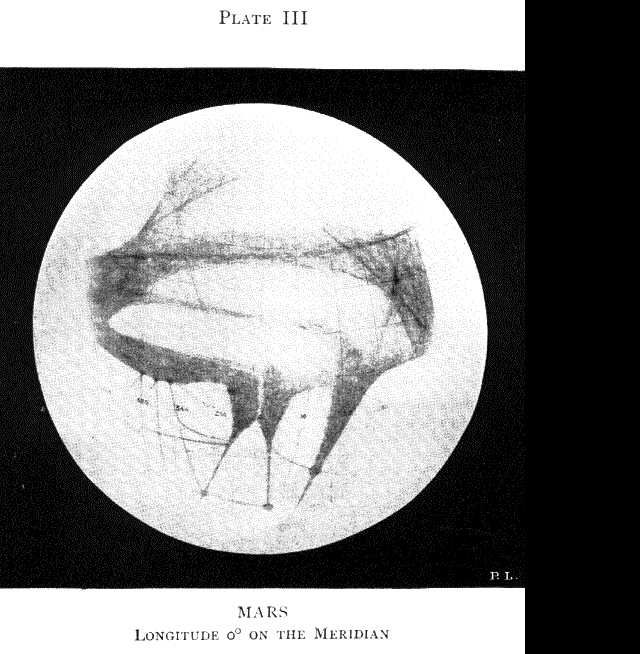
Plate III Mars Longitude 0 degrees on the Meridian
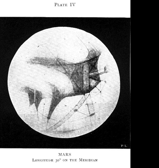
Plate IV Mars Longitude 30 degrees on the Meridian
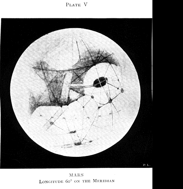
Plate V Mars Longitude 60 degrees on the Meridian
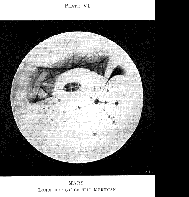
Plate VI Mars Longitude 90 degrees on the Meridian
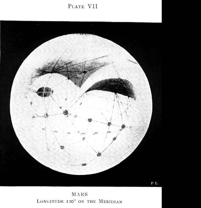
Plate VII Mars Longitude 120 degrees on the Meridian
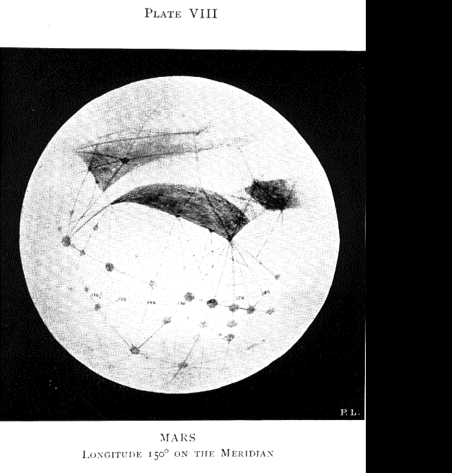
Plate VIII Mars Longitude 150 degrees on the Meridian
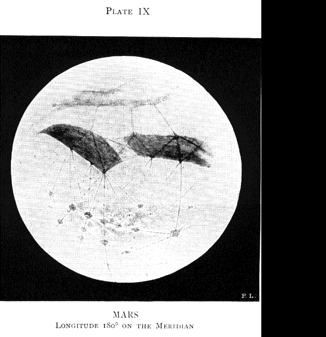
Plate IX Mars Longitude 180 degrees on the Meridian
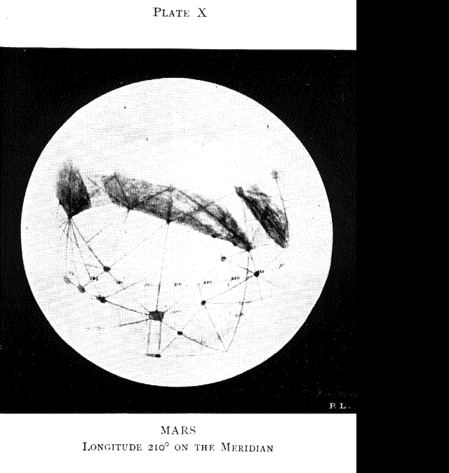
Plate X Mars Longitude 210 degrees on the Meridian
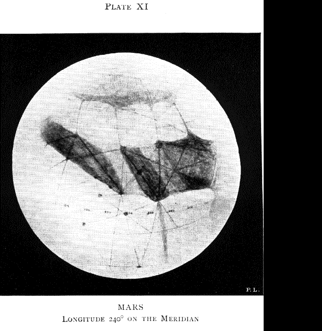
Plate XI Mars Longitude 240 degrees on the Meridian
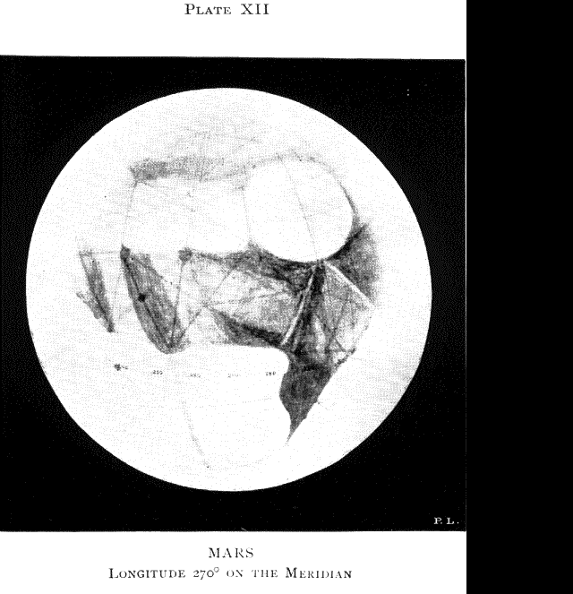
Plate XII Mars Longitude 270 degrees on the Meridian
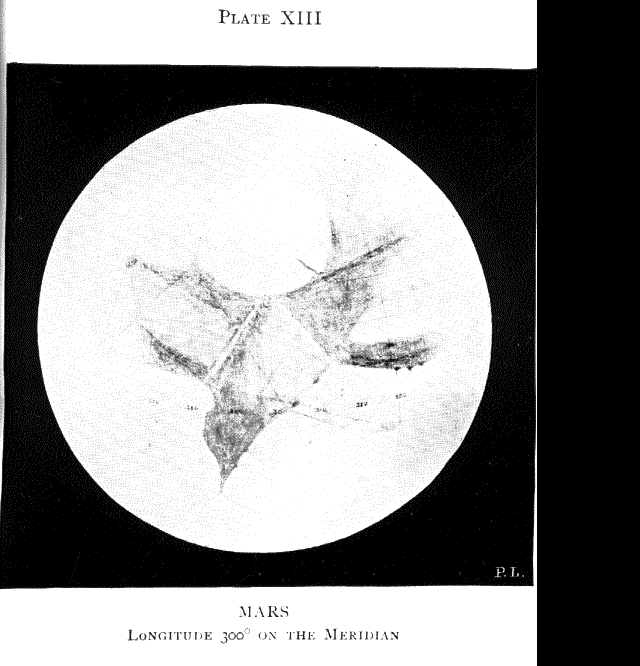
Plate XIII Mars Longitude 300 degrees on the Meridian
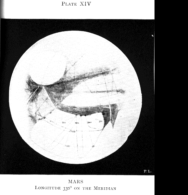
Plate XIV Mars Longitude 330 degrees on the Meridian
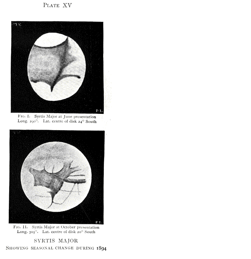
Plate XV Syrtis Major--Showing Seasonal Change during 1894.
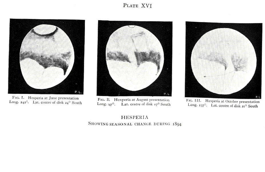
Plate XVI Hesperia--showing seasonal change during 1894.
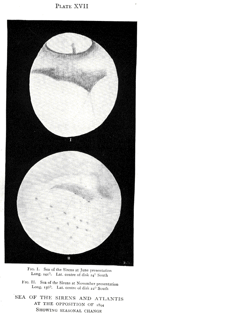
Plate XVII Sea of the Sirens and Atlantis at the opposition of 1894.
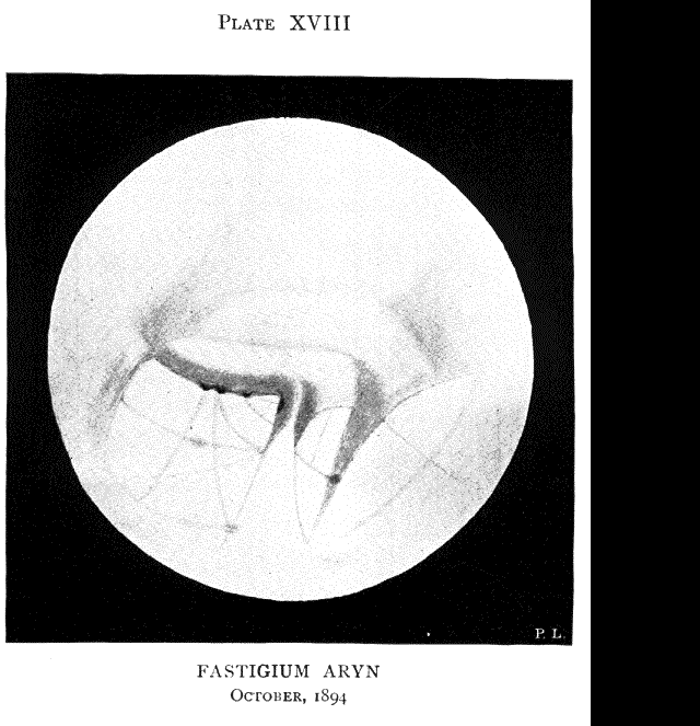
Plate XVIII Fastigium Aryn, October 1894.
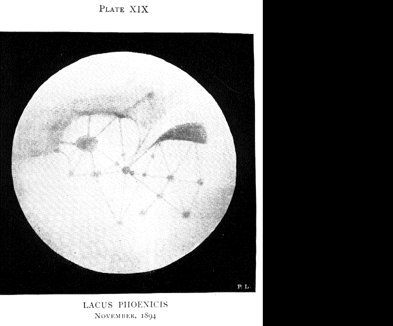
Plate XIX Lacus Phoenicis, November 1894.
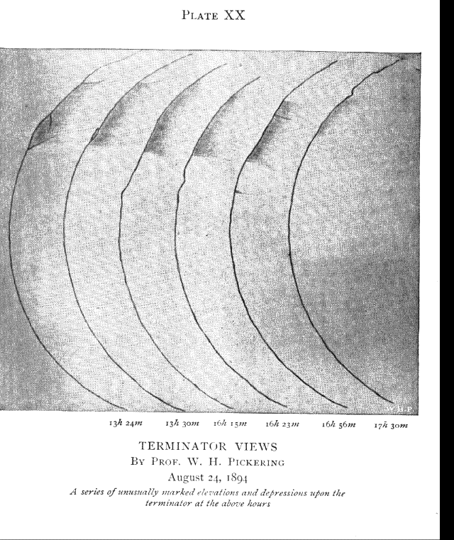
Plate XX Terminator Views, [Prof W. H. Pickering] August 24, 1894
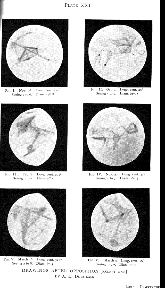
Plate XXI Drawings after Opposition (except one) [A.E. Douglass]
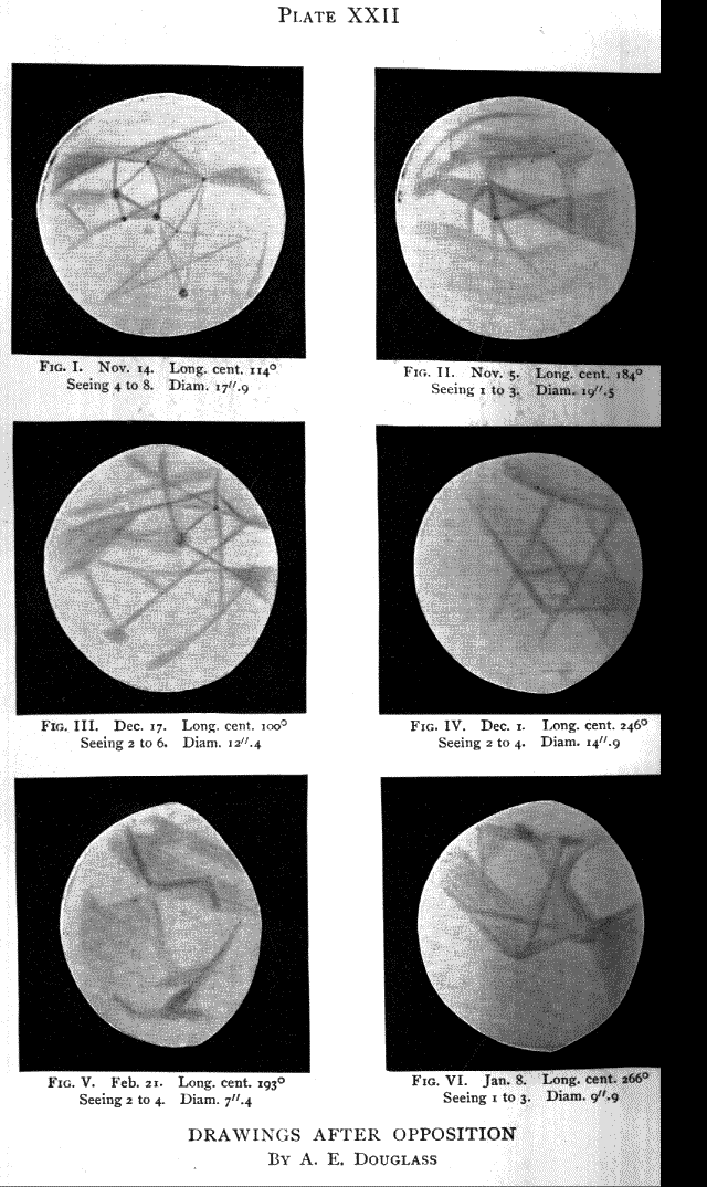
Plate XXII Drawings after Opposition [A.E. Douglass]
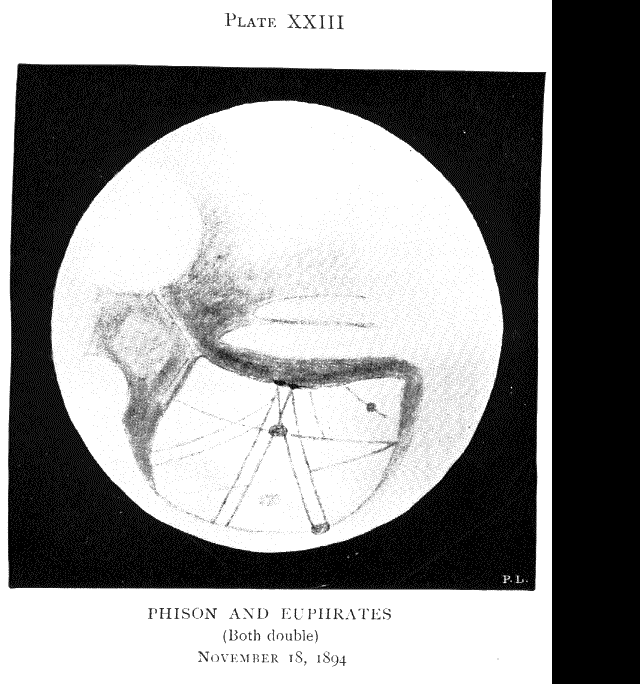
Plate XXIII Phison and Euphrates (both double) November 18, 1894.
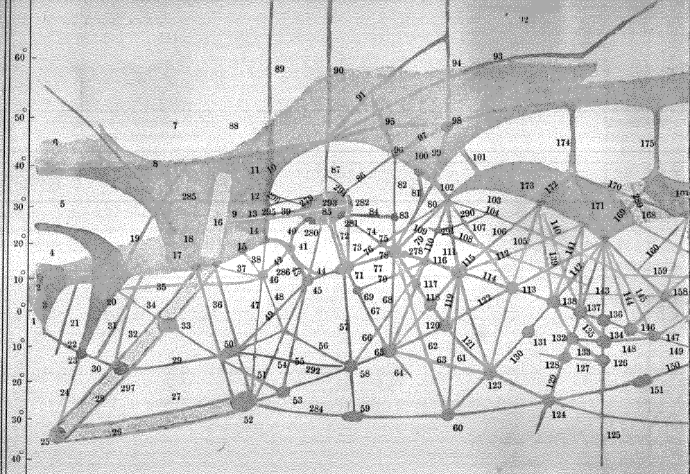
Plate XXIVa Complete map of Mars, split over two pages. (left side)
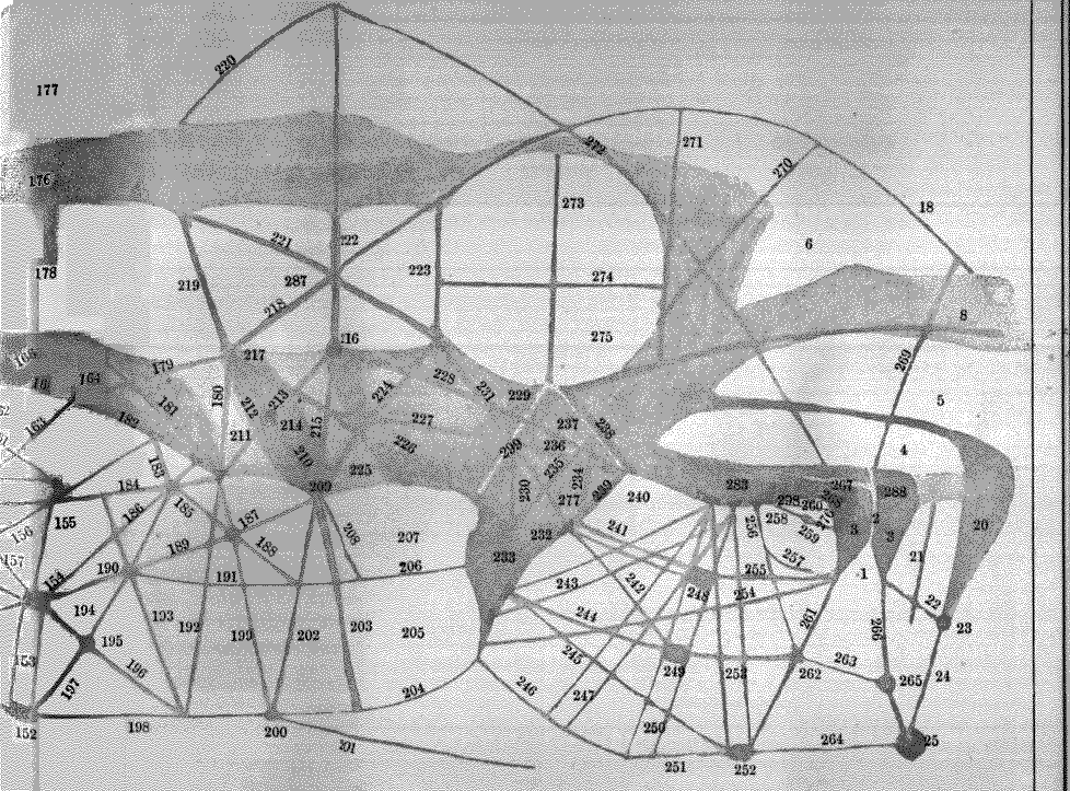
Plate XXIVb Complete map of Mars, split over two pages. (right side)
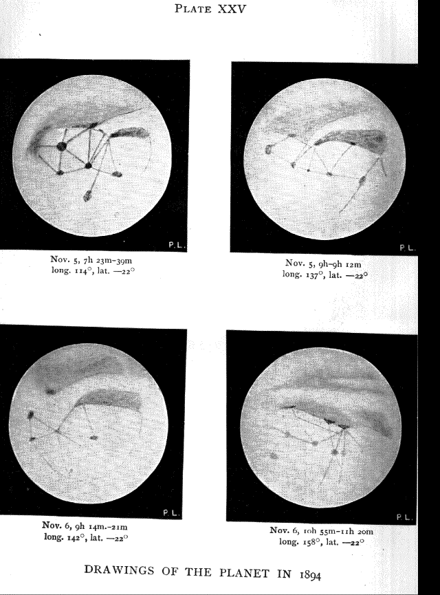
Plate XXV Drawings of the Planet in 1894
| Previous chapter | Back | Home | Email this | Search | Discuss | Bookmark | Next chapter/page |